
Walk a Waukesha Street
A sound address search moves from the street label to stable parcel identifiers. Waukesha County does not offer remote owner-name searching, but an online user can move from an identifiable address to a parcel and its listed owner. The Waukesha street directory method therefore supports property and house-history research, not proof of every occupant.
- Enter the address in City Parcel Inquiry or County Tax Listing. Save the normalized address, tax key, and legal description.
- Open the parcel in the City Property Viewer. Zoom along the street and click each parcel.
- Compare the situs address with the owner mailing address. The first locates land; the second receives tax mail.
- Carry the legal description into Register of Deeds Public Access and select the matching property mode.
- For past occupants, ask the library or historical society for an address-first directory, roll, map, or newspaper.
MyVote supplies polling and ballot information for one address. It is not a street roster. Full voter-file requests use Badger Voters and remain subject to payment and protected-field rules.
Waukesha Street Directory Fields
The Waukesha County Tax Listing accepts a tax key or address. Advanced controls help when spacing or an older record creates a poor match. Grid addresses should omit the street name when county instructions call for that format.
| Tax control | Input | Street-search use |
|---|---|---|
| Tax Key or Address | Text | Primary parcel search |
| Match On | Dropdown | Changes match behavior |
| Search for | Addresses or Tax Keys | Sets identifier type |
| Match Type | Dropdown | Broadens or narrows a match |
| Historical Results | Checkbox | Adds prior results |
| Personal Property | Checkbox | Adds that record class |
A result may show tax key, legal description, owner, situs and mailing addresses, values, tax bills, sale data, and property traits. The captured Tax Listing screen shows the entry point.
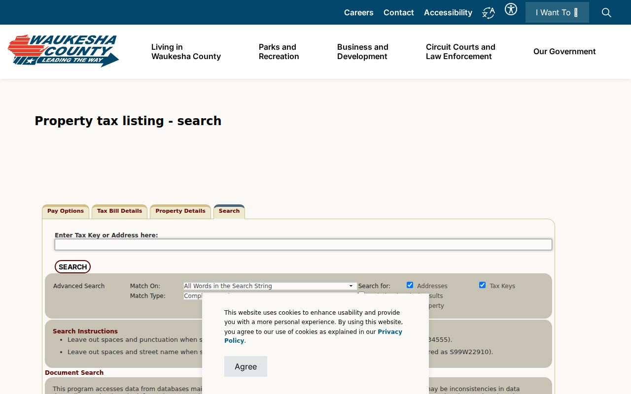
Use those controls to identify one parcel before moving through the street.
Two Waukesha Address Types
A situs address is where the parcel sits. An owner mailing address receives tax correspondence. The two may match, but an owner can use a post office box, business, agent, or place outside Waukesha County. A different mailing address is a lead, not proof of occupancy.
- Parcel
- A mapped unit of land identified by a tax key.
- Situs address
- The physical location assigned to a parcel.
- Plat
- A recorded map dividing land into lots and blocks.
- Criss-cross directory
- A directory arranged by street and house number.
Keep both address types separate. Mixing them can send a deed search to the wrong legal description.
Map Waukesha Streets in GIS
The City Property Viewer has parcels, public addresses and owners, buildings, city limits, zoning, floodplain, historic districts, wards, and polling places. Click a parcel to inspect it. GIS is informational, not a certified survey.
The City Parcel Inquiry searches by tax key or house number, direction, and street name. It accepts common street-type forms. The captured Property Viewer records the map entry screen.

Click parcels in sequence so proximity is not mistaken for shared title.
Waukesha Records by Address
Each source answers a different question. Tax Listing links an address to a parcel. GIS shows nearby lots. Deeds document title transfers. Historical sources may place a named person at an address, but none is a full current census.
| Address source | Keeper | Evidence | Access route |
|---|---|---|---|
| Tax Listing | Waukesha County | Parcel, owner, legal text, values | Online address or tax-key search |
| Property Viewer | City of Waukesha | Geometry, owner layer, city limits | Public map click |
| Deed index | Register of Deeds | Transfers, dates, documents | Web legal-description search; office name search |
| Permits | Community Development | Project, applicant, contractor, owner | Current process or records request |
| Historical directories | WPL and WCHSM | Past occupant or owner clues | Library, appointment, remote research |
| Voter information | Wisconsin Elections Commission | Polling and ballot data | MyVote; file request separately |
The strongest chain uses the tax key to identify the parcel, its legal description to locate deeds, and a date range to select older records. Preserve what each item proves.
Trace Waukesha Street Deeds
The Register of Deeds Public Access fully indexes documents from January 1, 1994. Older images reach the early 1800s, while the tract index spans 1848 through 1994. Remote users search by legal description, instrument number, or book and page. Name search remains available at the office.
This is a Waukesha quirk: start with property, not owner name. A subdivision uses plat, lot, and block; a condominium uses name and unit; unplatted land may require metes and bounds, a boundary description based on directions and distances. The captured deed index entry point shows the route.
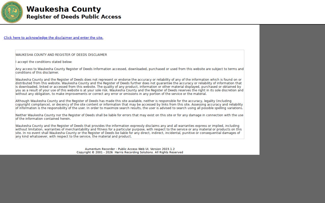
Ordinary images may be bought online. Certified copies require mail or an office visit.
Waukesha Streets Before 1994
When a chain reaches the cutoff, use the Online Tract Index. Select a range, then a volume or date period. A blank page can mean no postings; “Forwarded to” points to another page.
The captured tract-index page shows this browse route.
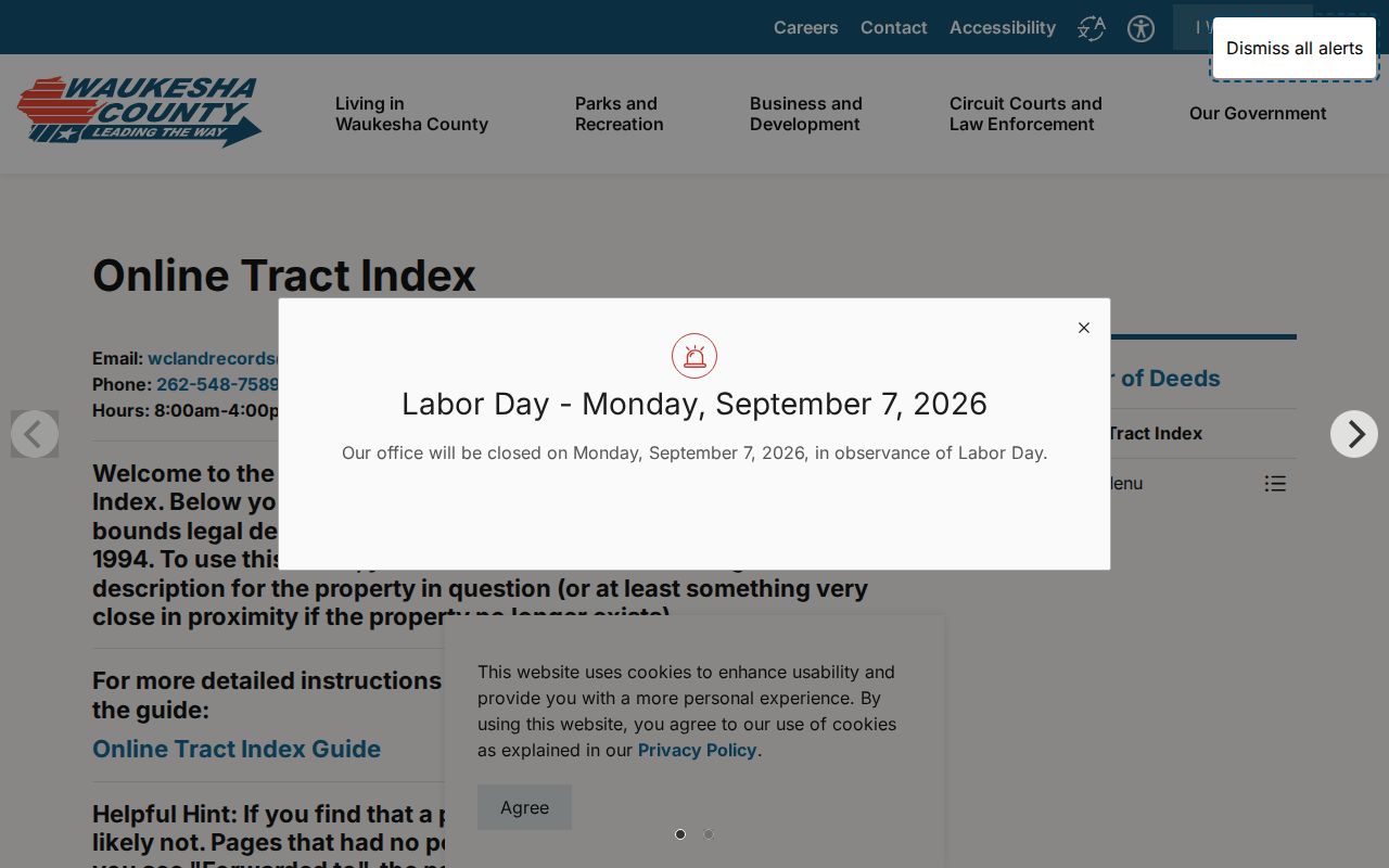
For name-only research, visit 515 W. Moreland Boulevard, Room AC110, weekdays from 8:00 a.m. to 4:00 p.m. The counter also handles certified copies.
Waukesha Street Grid Changes
Waukesha’s older core grew on a straight grid along the Fox River. Development after 1940 favored curved subdivision streets and collector roads. Prairieville became Waukesha in 1847, and the place became a city in 1896. The modern street directory therefore crosses several eras of plats, roads, and address forms.
No official source established one citywide street-renumbering year. Compare plat maps from 1859 forward, Sanborn sheets, legal descriptions, tax keys, rolls, and directories. Postal geography also misleads: county material ties the city to 53186 and 53188, while 53189 may use Waukesha outside city limits.
For a stubborn address, work backward from the modern parcel. Match its legal description to an older plat, then compare the building footprint on the nearest Sanborn sheet. Check the directory entry only after the lot is stable. WCHSM also preserves first land-ownership maps, the 1855 through 1857 Swamp Land Index, insurance-policy registers from 1874 through 1938, city assessments, county tax-sale files, and original land papers. These sources can bridge an era when the current house number did not exist. The result may identify land ownership or an insured building without naming everyone who lived there, so keep the evidence labels clear.
Waukesha Permits by Street
City permits are address evidence, not resident rolls. A file may name an owner, applicant, or contractor and show date, project, cost, and inspection events. Waukesha uses eTRAKiT for parts of its current workflow, but no complete official public history search was found.
For older files, send Community Development a focused Wisconsin Public Records Law request. Give the address, date span, record type, and project. Ask whether the file is in eTRAKiT, Laserfiche, paper, or an archive. State law requires a response as soon as practicable and without delay.
Note: A permit name identifies a project role, not who occupied the address.
Read Old Waukesha Streets
Waukesha Public Library is the first fallback for a past household. Adult Reference can check for a city directory, reverse directory, telephone book, yearbook, or microfilm. Its web page does not publish a complete reverse-directory run.
The Huelsman Family Research Center lists city directories from 1858 and 1890 to the present, without claiming every year. It also holds city assessment rolls from 1896 through 1940 and selected later years, plus maps, deeds, obituaries, and family files. See the Waukesha city directory collections for that shelf.
A house file can join a directory name to a Sanborn map, tax roll, permit, newspaper, and property record. Preserve each source’s date and meaning.
Limits of Waukesha Street Lookup
A Waukesha street directory cannot identify every renter, guest, family member, utility subscriber, or delivery recipient. MyVote does not disclose a household roster. Driver address data is restricted, and protected electors can keep address details confidential. Absence from a deed, tax roll, voter result, or directory does not prove absence from a home.
Use official records for genealogy, estate work, property history, civic questions, or scam prevention. Verify records with the custodian. For a named person, use the Waukesha resident lookup.
Lawful use. Use Waukesha address records only for lawful personal research. Never use them to stalk, harass, threaten, or harm anyone.